Trail Walking Verneuil d'Avre et d'Iton - Entre France et Normandie -  Verneuil-sur-Avre - Photo

Entre France et Normandie - Verneuil-sur-Avre

 tracegps
tracegps

User

© OpenStreetMap contributors
Length
Length
22 km
Max alt
Max alt
182 m
Uphill gradient
Uphill gradient
214 m
Km-Effort
Km-Effort  
24 km
Min alt
Min alt
142 m
Downhill gradient
Downhill gradient
213 m
Boucle
Boucle
Yes
Creation date :
2014-12-10 00:00:00.0
Updated on :
2014-12-10 00:00:00.0

(1 Reviews)

Walking
Walking
5h25
Difficulty : Very difficult

Scan this QR Code to open this trail in the SityTrail application

FREE GPS app for hiking

Logo SityTrail SityTrail

IGN / Geographical institutes

Download SityTrail from the App Store Download SityTrail from Google Play

Logo SityTrail SityTrail World

The world is yours!

Download SityTrail from the App Store Download SityTrail from Google Play Download SityTrail on Huawei AppGallery

About

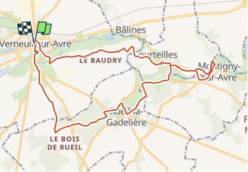
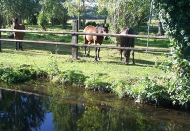
Trail Walking of 22 km to be discovered at Normandy, Eure, Verneuil d'Avre et d'Iton. This trail is proposed by tracegps.

Description

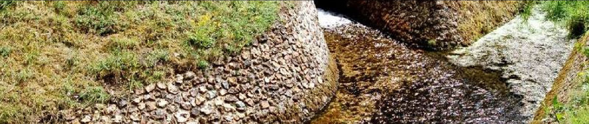
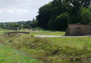
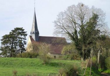
Circuit proposé par l'Office de Tourisme du Pays d'Avre, d'Eure et d'Iton. Ce circuit franchit la frontière entre le Royaume de France et le Duché de Normandie . Plusieurs châteaux ponctuent l'itinéraire. Départ de l'église de La Madeleine à Verneuil-sur-Avre. Retrouvez le circuit et son descriptif sur le site de l'Office de Tourisme du Pays d'Avre, d'Eure et d'Iton.

Elevation profile

Photos

Positioning

Country:
France
Region :
Normandy
Department/Province :
Eure
Municipality :
Verneuil d'Avre et d'Iton
Location:
Verneuil-sur-Avre
Start:(UTM)
347764 ; 5400443 (31U) N.

Comments

Please log in to post a review or rate the element


verneiil


Trails nearby

Trail Walking Verneuil d'Avre et d'Iton - Entre France et Normandie (12 kms) -  Verneuil-sur-Avre - Photo
Walking
tracegps

Walking

Medium
Verneuil d'Avre et d'Iton, Normandy, Eure, France
12 km | 13.3 km-effort
3h 0min
Yes
Trail Walking Rueil-la-Gadelière - Sur les Pas de Vlaminck -  Rueil-la-Gadelière - Photo
Walking
tracegps

Walking

Medium
Rueil-la-Gadelière, Centre-Loire Valley, Eure-et-Loir, France
8.3 km | 9.2 km-effort
2h 4min
Yes
Trail On foot Verneuil d'Avre et d'Iton - Verneuil sur Avre 20.28 - Photo
On foot
togolo28

On foot

Medium
Verneuil d'Avre et d'Iton, Normandy, Eure, France
20 km | 22 km-effort
Unknown
Yes
Trail Walking Pullay - Pullay Bois Francs 10.1 Km - Photo
Walking
ODDAD78

Walking

Easy
Pullay, Normandy, Eure, France
10.1 km | 11 km-effort
2h 27min
Yes
Trail Walking Verneuil d'Avre et d'Iton - VerneuilsurAvre-Montigny - Photo
Walking
douneto

Walking

Medium
Verneuil d'Avre et d'Iton, Normandy, Eure, France
21 km | 24 km-effort
5h 20min
Yes
Trail Walking Bâlines - Balade Balinoise - Bâlines - Photo
Walking
tracegps

Walking

Easy
Bâlines, Normandy, Eure, France
2.9 km | 3.3 km-effort
45min
Yes
Trail Mountain bike Verneuil d'Avre et d'Iton - Randonnée des sangliers - Photo
Mountain bike
tracegps

Mountain bike

Medium
Verneuil d'Avre et d'Iton, Normandy, Eure, France
57 km | 65 km-effort
3h 0min
Yes
Trail Mountain bike Verneuil d'Avre et d'Iton - Randonnée des sangliers 2008 43 km - Photo
Mountain bike
tracegps

Mountain bike

Difficult
(1)
Verneuil d'Avre et d'Iton, Normandy, Eure, France
44 km | 49 km-effort
2h 45min
Yes
Trail Mountain bike Verneuil d'Avre et d'Iton - Randonnée des sangliers 2008 20 km - Photo
Mountain bike
tracegps

Mountain bike

Medium
Verneuil d'Avre et d'Iton, Normandy, Eure, France
21 km | 23 km-effort
2h 0min
Yes


Close
My subscriptions